Geospatial
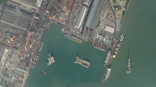
Mirage at Sea
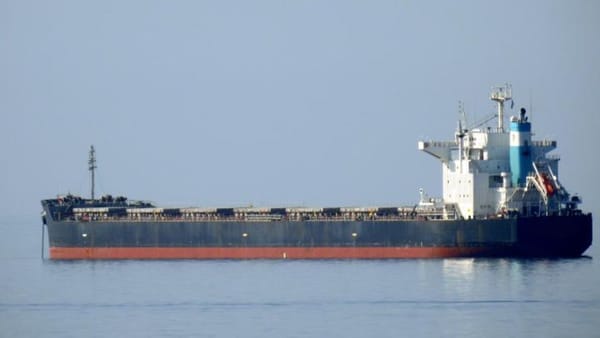
Greetings, Special Agent. We've just received word from our friends at Interpol. Specifically their "Maritime Piracy and Illicit Trafficking Unit". They raised concerns about a vessel using a name that doesn't match its AIS signal. Furthermore, this freighter is suspected to be smuggling narcotics